Details and Options
ResourceFunction["SkyViewImage"] gets images from
SkyView through URL queries.
A sky location can be specified by an
Entity or {
ra,
dec}. When
Entity is provided, the position of the entity object is used.
The name of the astronomical surveys supported by
SkyView can be obtained through
ResourceFunction["SkyViewImage"][
band], where
band can take the following values: "Gamma", "X-Rays", "UV", "Optical", "Millimeter", "Infrared" and "Radio".
When specifying a format, one can give the element specifications supported by
Import.
ResourceFunction["SkyViewImage"] takes the following options:
| "PixelDimension" | {300, 300} | dimensions of the image in pixels |
| "AngularSize" | Automatic | angular coverage of the output image |
| "BrightnessScaling" | "Logarithmic" | scaling in brightness that is applied to the image |
| "AstroProjection" | "Gnomic" | projection that is employed in the output image |
"AngularSize" specifies the size of the sky region in the output image as {width, height}.
"BrightnessScaling" can take the following values: "Linear", "SquareRoot", "Logarithmic", "HistogramEqualization" and "LogLog".
"AstroProjection" can take the following values: "Aitoff","Mollweide","Gnomic","Equirectangular","Orthographic","COBE","LambertAzimuthal","AzimuthalEquidistant".
All information concerning sky regions is interpreted in the equatorial coordinates. Angular values are assumed to be in angular degrees, unless
Quantity is used.


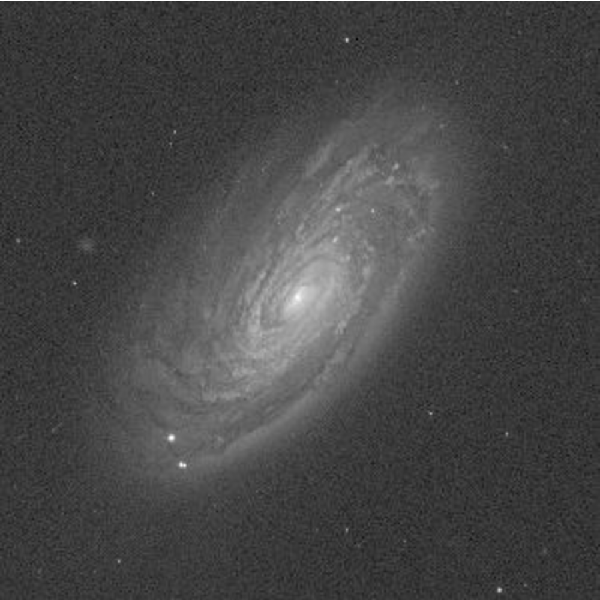
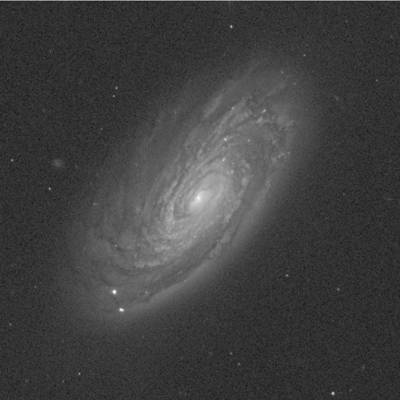
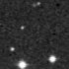
![ResourceFunction["SkyViewImage"][
Entity["Galaxy", "M88"], "Sloan Digital Sky Survey g-band DR7", "GIF", "BrightnessScaling" -> "LogLog", "AngularSize" -> {Quantity[7, "ArcMinutes"], Quantity[7, "ArcMinutes"]}, "PixelDimension" -> {400, 400}]](https://www.wolframcloud.com/obj/resourcesystem/images/0dc/0dc9658a-aa5f-4448-ad39-9e6e679420a7/16462dd20dd9df05.png)
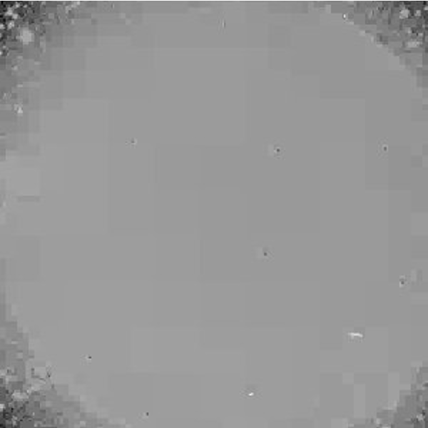
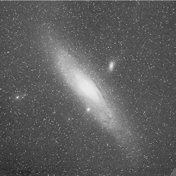
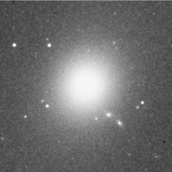
![ResourceFunction["SkyViewImage"][
Entity["Galaxy", "M88"], "Sloan Digital Sky Survey g-band DR7", "AngularSize" -> {Quantity[7, "ArcMinutes"], Quantity[7, "ArcMinutes"]}]](https://www.wolframcloud.com/obj/resourcesystem/images/0dc/0dc9658a-aa5f-4448-ad39-9e6e679420a7/0fcf624a462fd103.png)
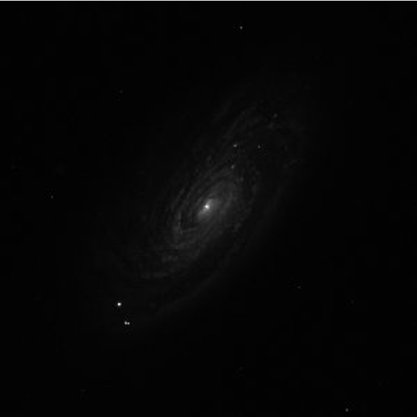
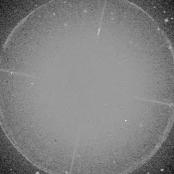
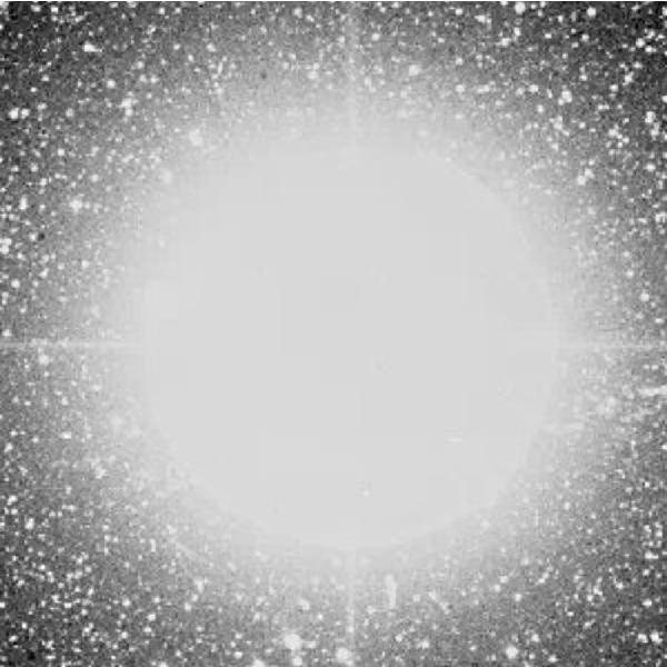
![ResourceFunction["SkyViewImage"][
Entity["Galaxy", "M88"], "Sloan Digital Sky Survey g-band DR7", "BrightnessScaling" -> "LogLog", "AngularSize" -> {Quantity[7, "ArcMinutes"], Quantity[7, "ArcMinutes"]}]](https://www.wolframcloud.com/obj/resourcesystem/images/0dc/0dc9658a-aa5f-4448-ad39-9e6e679420a7/1991658695af0b3b.png)