| "ObservationID" | the ID of the observation (default) |
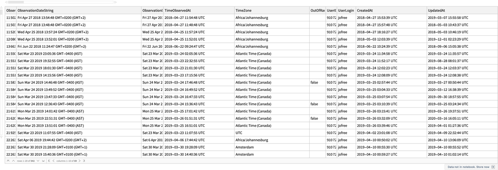
| "ObservationDateString" | the date of the observation as a string |
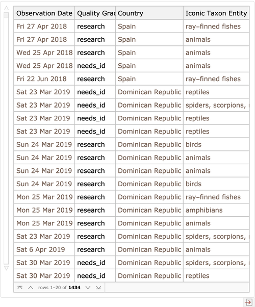
| "ObservationDate" | the date of the observation |
| "TimeObservedAt" | the time of the observation |
| "TimeZone" | the time zone |
| "OutOfRange" | out of range |
| "UserID" | the user ID |
| "UserLogin" | the user login |
| "CreatedAt" | date when the observation was created |
| "UpdatedAt" | date when the observation was last updated |
| "QualityGrade" | the quality grade of the observation (default) |
| "License" | the license of the observation data |
| "ObservationURL" | the URL of the observation |
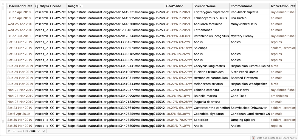
| "ImageURL" | the URL of the main image (default) |
| "SoundURL" | the URL of the recorded sound |
| "TagList" | the list of tags associated to the observation |
| "Description" | the description of the observation added by the user |
| "IDPlease" | indicates whether the observation needs identification |
| "IdentificationAgreements" | the number of identification agreements |
| "IdentificationDisagreements" | the number of identification disagreements |
| "CaptiveCultivated" | indicates wheter the animal or plant of the observation was captive or cultivated |
| "OauthApplicationId" | the OAuth application ID |
| "PlaceGuess" | the place guess |
| "GeoPosition" | the GeoPosition of the observation |
| "Latitude" | the latitude coordinate |
| "Longitude" | the longitude coordinate |
| "PositionalAccuracy" | the positional accuracy |
| "PrivatePlaceGuess" | the private place guess name |
| "CoordinatesObscured" | indicates wheter the observation has coordinates obscured |
| "Geoprivacy" | the geoprivacy of the location of the observation |
| "TaxonGeoprivacy" | the taxon geoprivacy |
| "PrivateLatitude" | the private latitude |
| "PrivateLongitude" | the private longitude |
| "PrivatePositionalAccuracy" | the private positional accuracy |
| "PositioningMethod" | the positioning method |
| "PositioningDevice" | the positioning device |
| "Town" | the place town name |
| "County" | the county name |
| "Country" | the country name |
| "PlaceAdmin1" | the administrative place 1 |
| "PlaceAdmin2" | the administrative place 2 |
| "SpeciesGuess" | the species guess |
| "ScientificName" | the scientific name |
| "CommonName" | the common name |
| "IconicTaxonName" | the iconic taxon name |
| "IconicTaxonEntity" | the iconic taxon entity |
| "TaxonID" | the taxon ID |
| "TaxonKingdom" | the taxon kingdom name |
| "TaxonPhylum" | the taxon phylum name |
| "TaxonSubphylum" | the taxon subphylum name |
| "TaxonSuperclass" | the taxon superclass name |
| "TaxonClass" | the taxon class name |
| "TaxonSubclass" | the taxon subclass name |
| "TaxonSuperorder" | the taxon superorder name |
| "TaxonOrder" | the taxon order name |
| "TaxonSuborder" | the taxon suborder name |
| "TaxonSuperfamily" | the taxon superfamily name |
| "TaxonFamily" | the taxon family name |
| "TaxonSubfamily" | the taxon subfamily name |
| "TaxonSupertribe" | the taxon supertribe name |
| "TaxonTribe" | the taxon tribe name |
| "TaxonSubtribe" | the taxon subtribe name |
| "TaxonGenus" | the taxon genus name |
| "TaxonGenushybrid" | the taxon genushybrid name |
| "TaxonSpecies" | the taxon species name |
| "TaxonHybrid" | the taxon hybrid name |
| "TaxonSubspecies" | the taxon subspecies name |
| "TaxonVariety" | the taxon variety name |
![(* Evaluate this cell to get the example input *) CloudGet["https://www.wolframcloud.com/obj/14d2c0d2-45d1-4a5f-bee7-913905d0b816"]](https://www.wolframcloud.com/obj/resourcesystem/images/3ff/3ffb1c14-941b-4eb9-81f4-1b2df1b9d412/4b8bed9f3223bbcd.png)
![ResourceFunction[
"INaturalistImport"]["https://www.wolframcloud.com/obj/jofree/iNaturalist/my_observations.csv", {"ObservationDate", "Country", "IconicTaxonEntity", "QualityGrade"}]](https://www.wolframcloud.com/obj/resourcesystem/images/3ff/3ffb1c14-941b-4eb9-81f4-1b2df1b9d412/3c870bafc35d7e71.png)
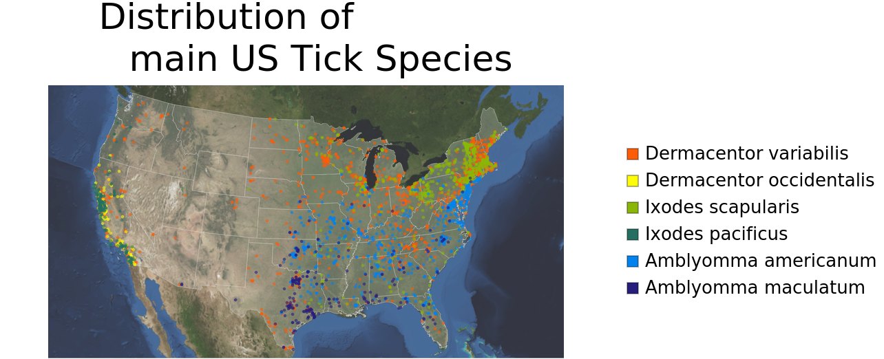
![positionsSpecies[species_String] := DeleteMissing[
Normal@ticksData[
Select[#["ScientificName"] == species && #["QualityGrade"] == "research" &], "GeoPosition"]]](https://www.wolframcloud.com/obj/resourcesystem/images/3ff/3ffb1c14-941b-4eb9-81f4-1b2df1b9d412/6ccf4a7eb5f1ab11.png)
![Labeled[GeoGraphics[
Join[{{EdgeForm[{LightGray, Thin, Opacity[0.8]}], White, Polygon[EntityList[
EntityClass["AdministrativeDivision", "AllUSStatesPlusDC"]]]}},
MapThread[{#1, PointSize[0.006], Opacity[0.6], Point@positionsSpecies[#2]} &, {colors, mainTickSpecies}]],
GeoBackground -> GeoStyling["Satellite", Opacity[0.8]],
GeoRangePadding -> {None, Full},
GeoRange -> Entity["Country", "UnitedStates"],
ImageSize -> 750], {SwatchLegend[colors, mainTickSpecies], Style["Distribution of main US Tick Species", FontFamily -> "Helvetica", FontSize -> 26]}, {Right, Top}]](https://www.wolframcloud.com/obj/resourcesystem/images/3ff/3ffb1c14-941b-4eb9-81f4-1b2df1b9d412/7e571a51e4c98f8c.png)
![observationDates = DeleteMissing@
Flatten@Values@
Normal@ResourceFunction["INaturalistImport"][
"https://www.wolframcloud.com/obj/jofree/iNaturalist/US_Ticks_iNat_observations.csv", "ObservationDate"];](https://www.wolframcloud.com/obj/resourcesystem/images/3ff/3ffb1c14-941b-4eb9-81f4-1b2df1b9d412/5921e94e501d05d5.png)