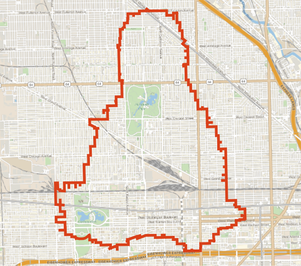
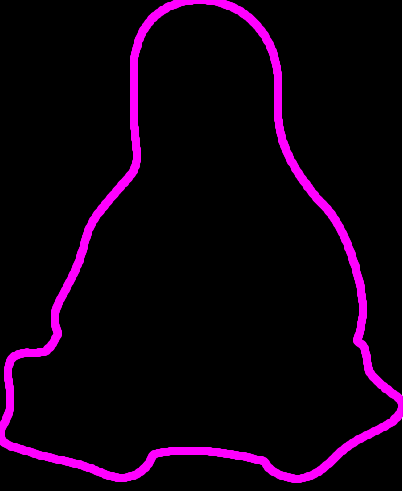
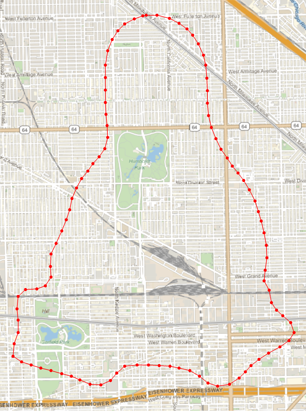
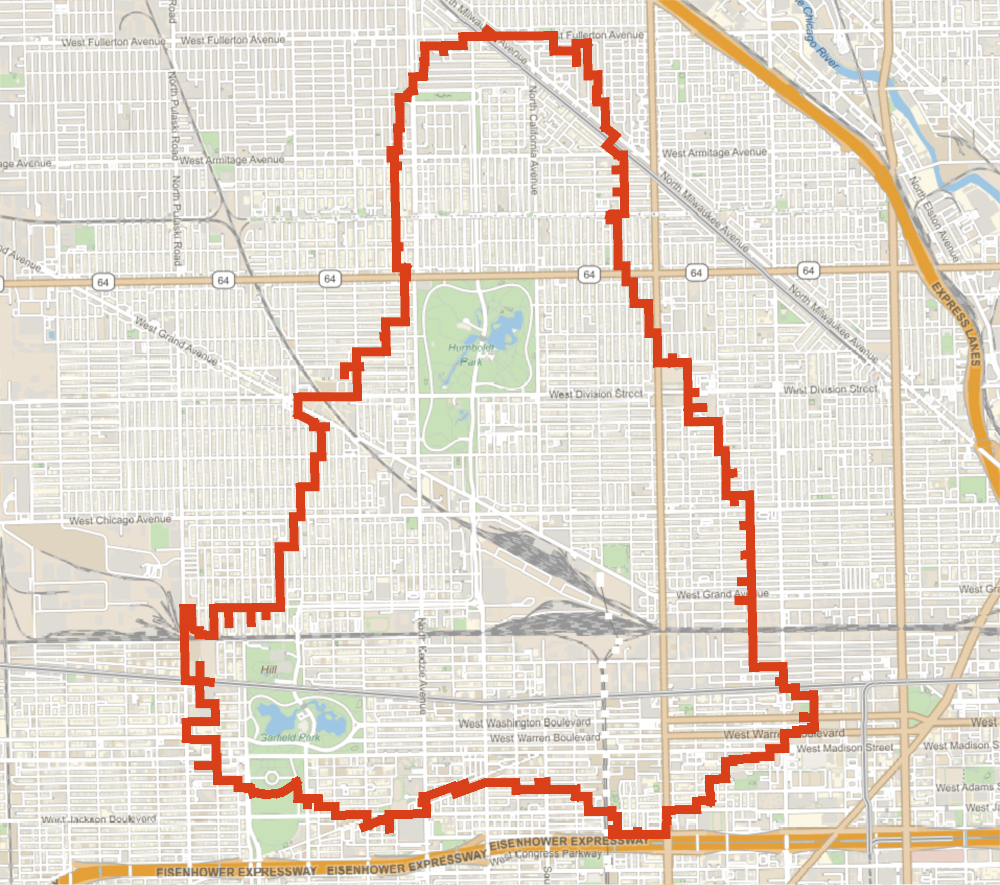
geoConversion[pixels_,imageSize_,centerLocation_,spanDegrees_]:=Module{latMin,latMax,lonMin,lonMax,width,height,latScale,lonScale},{{latMin,latMax},{lonMin,lonMax}}=centerLocation1-spanDegrees2,centerLocation1+spanDegrees2,centerLocation2-spanDegrees2,centerLocation2+spanDegrees2;{width,height}=imageSize;latScale=(latMax-latMin)height;lonScale=(lonMax-lonMin)width;GeoPosition[{latMax+(#〚2〛-height)*latScale,lonMin+#〚1〛*lonScale}]&/@pixelsgeoOutlinePoints=geoConversion[#,ImageDimensions[edgeImage],centerLocation,spanDegrees]&@orderedPixels;