Pix2pix Photo-to-Street-Map Translation
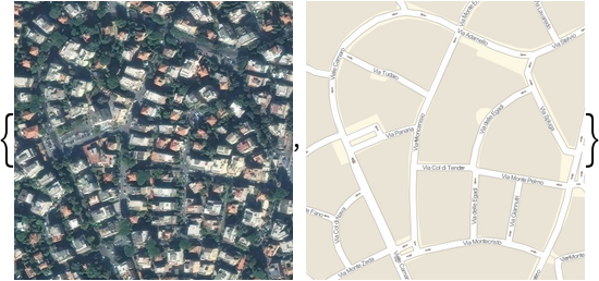
Released in 2016, this model is an application of a powerful method for general-purpose image-to-image translation using conditional adversarial networks. The automatic learning of the loss function with the adversarial networks technique allows the same paradigm to generalize across a wide range of image translation tasks. The architecture enables an efficient aggregation of features of multiple scales through skip connections with concatenations. This particular model was trained to generate a street map from a satellite photo.
Number of layers: 56 |
Parameter count: 54,419,459 |
Trained size: 218 MB |
Examples
Resource retrieval
Get the pre-trained net:
Basic usage
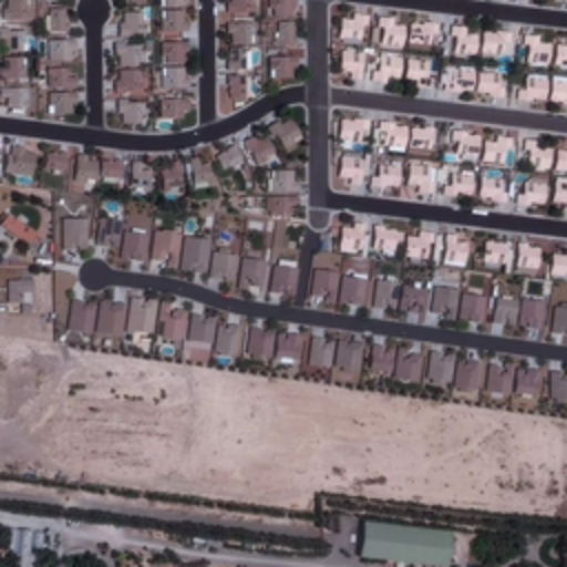
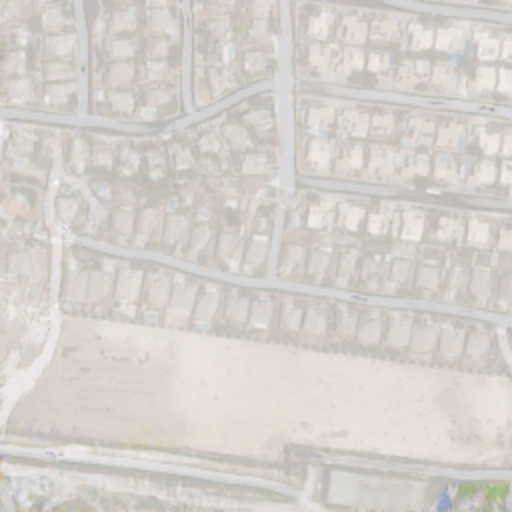
Obtain a satellite photo:
Use the net to draw the street map:
Evaluate accuracy
Overlap photo and prediction:
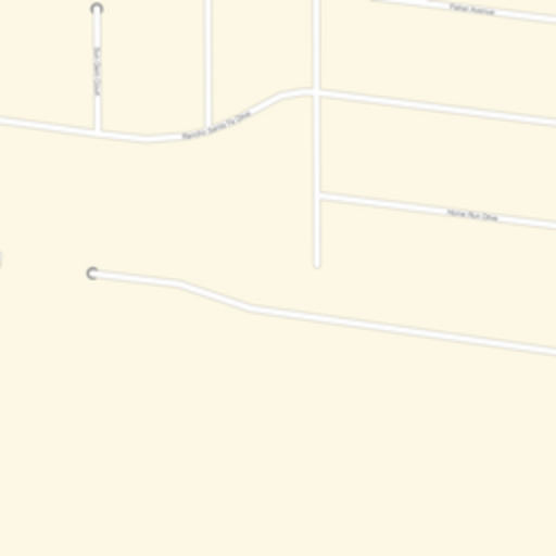
Obtain the actual street map:
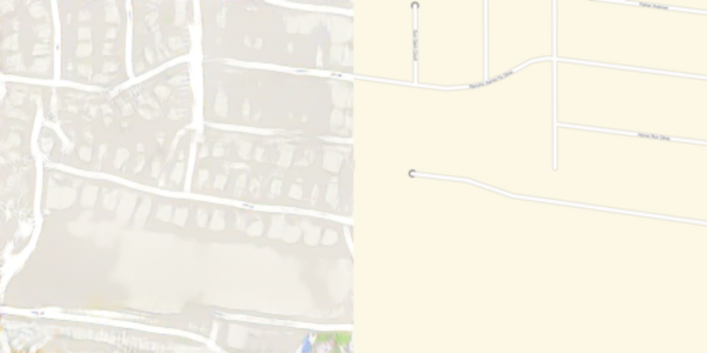
Compare the generated street map with the actual street map:
Issues
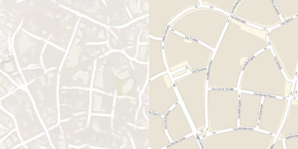
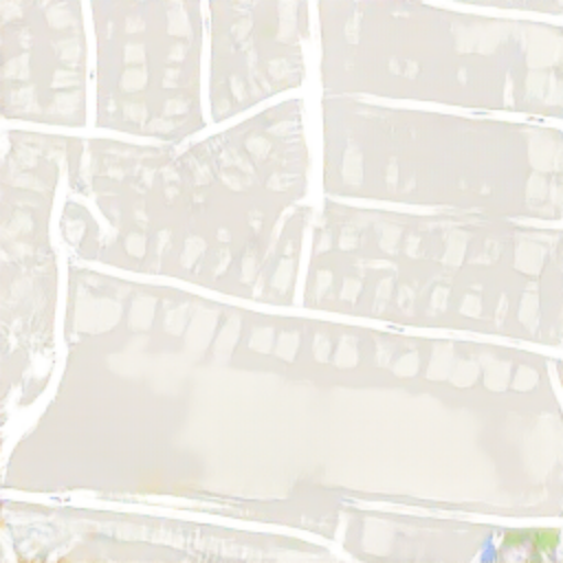
More complex patterns are harder to render. Obtain a new photo and street map pair:
Compare the prediction with the actual street map:
Net information
Inspect the number of parameters of all arrays in the net:
Obtain the total number of parameters:
Obtain the layer type counts:
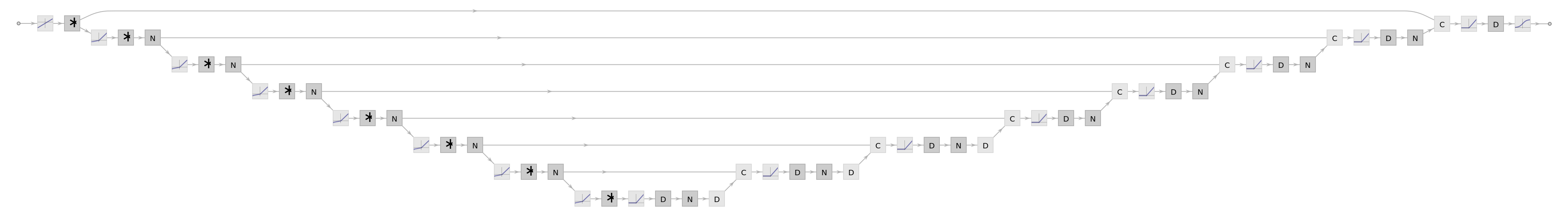
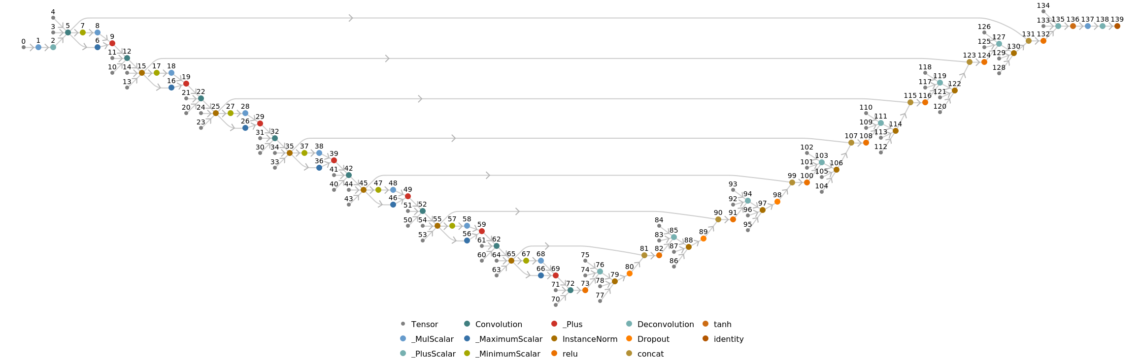
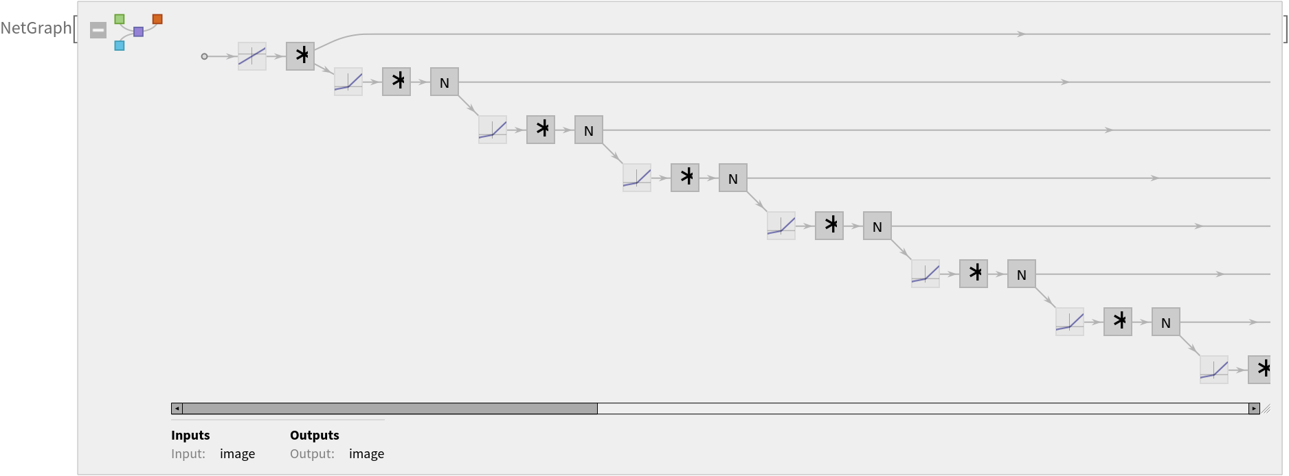
Display the summary graphic:
Export to MXNet
Export the net into a format that can be opened in MXNet:
Export also creates a net.params file containing parameters:
Get the size of the parameter file:
The size is similar to the byte count of the resource object:
Represent the MXNet net as a graph:
Requirements
Wolfram Language
11.2
(September 2017)
or above
Resource History
Reference
![actualMap = ImageResize[
GeoImage[Entity["City", {"LasVegas", "Nevada", "UnitedStates"}], "StreetMap", GeoRange -> 200], {256, 256}]](https://www.wolframcloud.com/obj/resourcesystem/images/1d9/1d9f0360-c295-488d-bc0b-c62556fffa33/0c7860f6d4307aaa.png)
![{img, actualMap} = ImageResize[
GeoImage[GeoPosition[{41.940360, 12.533762}], #, GeoRange -> 200], {256, 256}] & /@ {"Satellite", "StreetMap"}](https://www.wolframcloud.com/obj/resourcesystem/images/1d9/1d9f0360-c295-488d-bc0b-c62556fffa33/2e11e489b770f9e6.png)