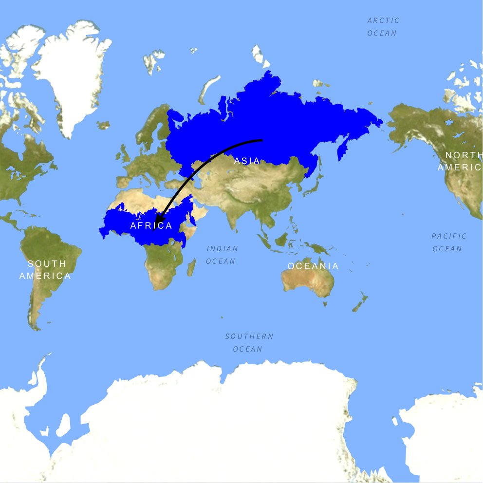
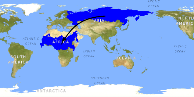
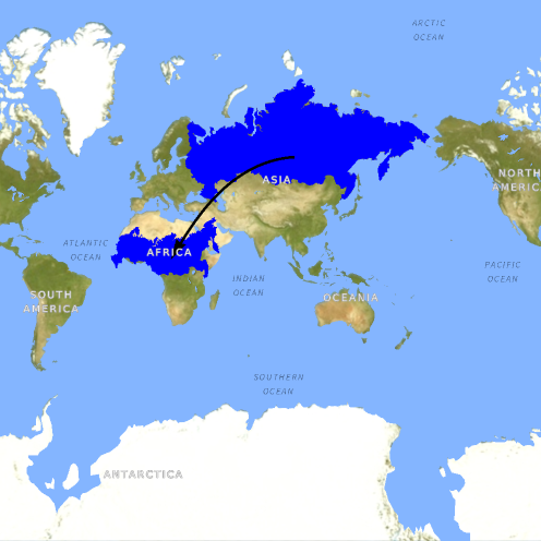
Map projections such as Mercator can significantly distort the apparent size of regions, especially at higher latitudes. In this example, we reposition Russia over Africa to remove location-based visual bias, and then compute their geodesic surface areas to determine (i) what percentage of Africa's area equals Russia's area and (ii) how many Russia-sized areas fit into Africa.
Quantify the true size relationship by comparing geodesic areas. Report (i) what percent of Africa is covered by Russia's area and (ii) how many Russias fit into Africa by area: